Hollerstetten solar park
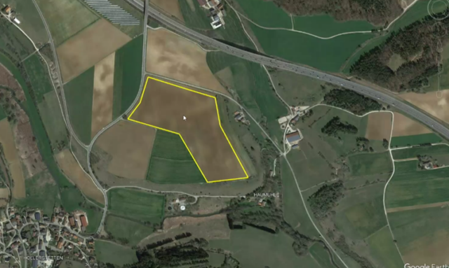
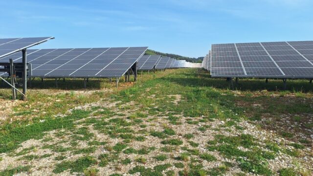
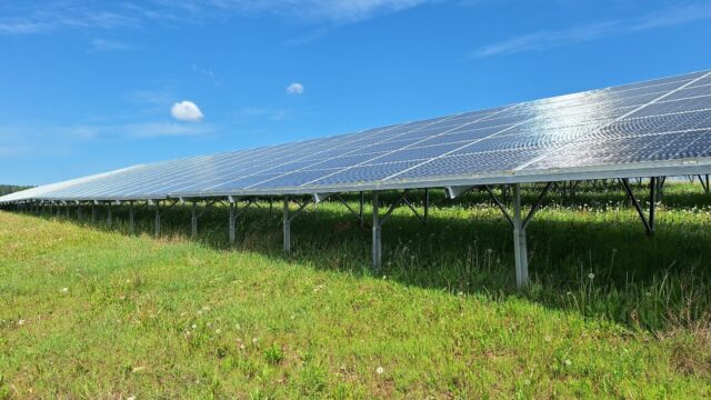
ENERPARC AG's Hollerstetten solar park is located on a hilltop on the edge of the Franconian Alb, north-east of the village of Hollerstetten. The plant covers 8.3 hectares and was put into operation in December 2019.
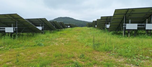
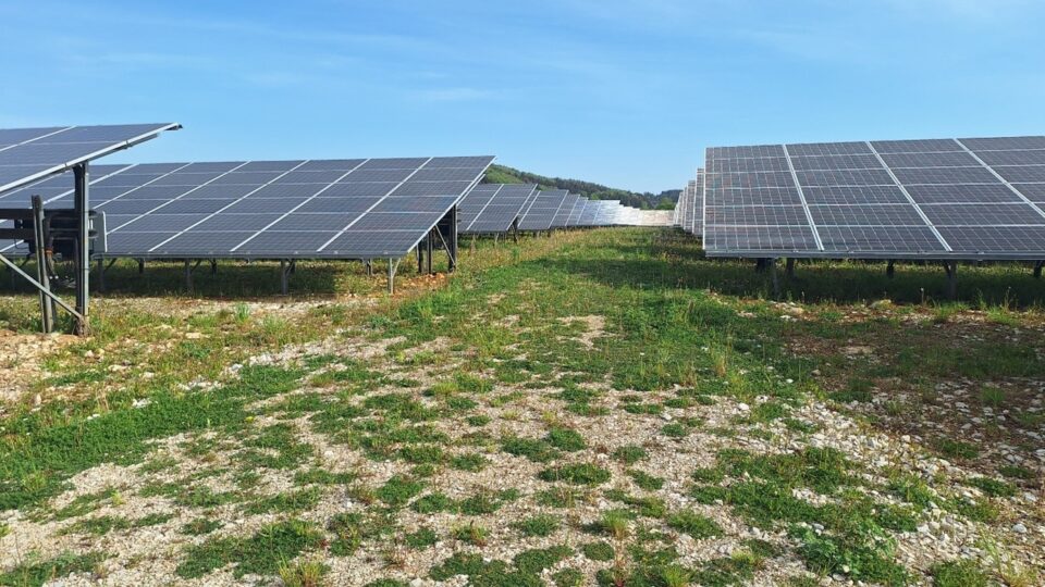
In contrast to the four photovoltaic systems analysed in this region - Effenricht, Eichensee, Fichten and Kühnhausen - the solar park does not have a long central path between the modules due to its size. Instead, there is a short path between the rows of modules in the western part of the plant, while in the eastern area this runs halfway parallel to the surrounding fence.
ENERPARC AG
10 MW
8.3 ha
2020
Bavaria
49.2004366104 - 11.6611930028
Arable land
Table of contents
| Species groups | Investigated |
|---|---|
| Plants | ✔ |
| Locusts | ✔ |
| Butterfly | ✔ |
| Dragonflies | |
| Reptiles | ✔ |
| Amphibians | |
| Birds | ✔ |
| Bats | ✔ |
| Miscellaneous |
✔ = Investigation carried out on behalf of the operators
Natural environment and special features
Franconian Alb
The Hollerstetten solar park extends from approx. 250 m south of the A3 motorway to approx. 120 metres north of the Schwarze Laaber. A calcareous grassland has been mapped on the south and east-facing valley slope of the Schwarze Laber and the Frauenbach (as of 2006), but there are arable fields between the biotope and the plant. The state road St2251, which connects Hollerstetten with Velburg to the north, runs along the solar park to the west. The nearest solar plant is located around 250 metres to the north-west. Although the immediate vicinity of the solar park consists mainly of farmland, there are numerous biotope-mapped areas in the neighbourhood, from dry grassland to sedge meadows, tall herbaceous meadows, riparian woodland and hedges, which provide a high degree of structural richness.
The western part of the solar park is located at approx. 490 metres above sea level, towards the east the terrain drops to an altitude of approx. 485 metres above sea level.
Field, not mapped
Floor
Rendzina / brown earth rendzina / pararendzina from slope debris over limestone, marl and dolomite rocks alternating with shallow brown earth over terra fusca / terra fusca-parabrown earth from silty-clayey over-deposition products of limestone weathering
Clay slurries
Construction method
0.6
2.3m
0.9m
20°
6 pieces
The frames are anchored to the ground by cross-braced piles.
Monofacial modules were installed.
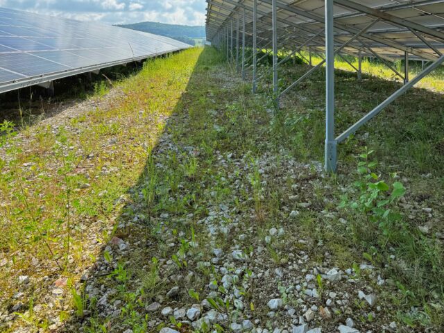
Gravel paths were laid in the area.
Management
The Hollerstetten solar park is grazed. The plant is divided into sub-areas and each of these is subjected to impact grazing.
Equalisation measures
The following compensatory measures were implemented in Hollerstetten:
- Planting measures
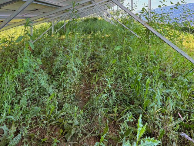
- Extensive grassland development through self-vegetation
- CEF compensation area for skylarks
