Effenricht solar park
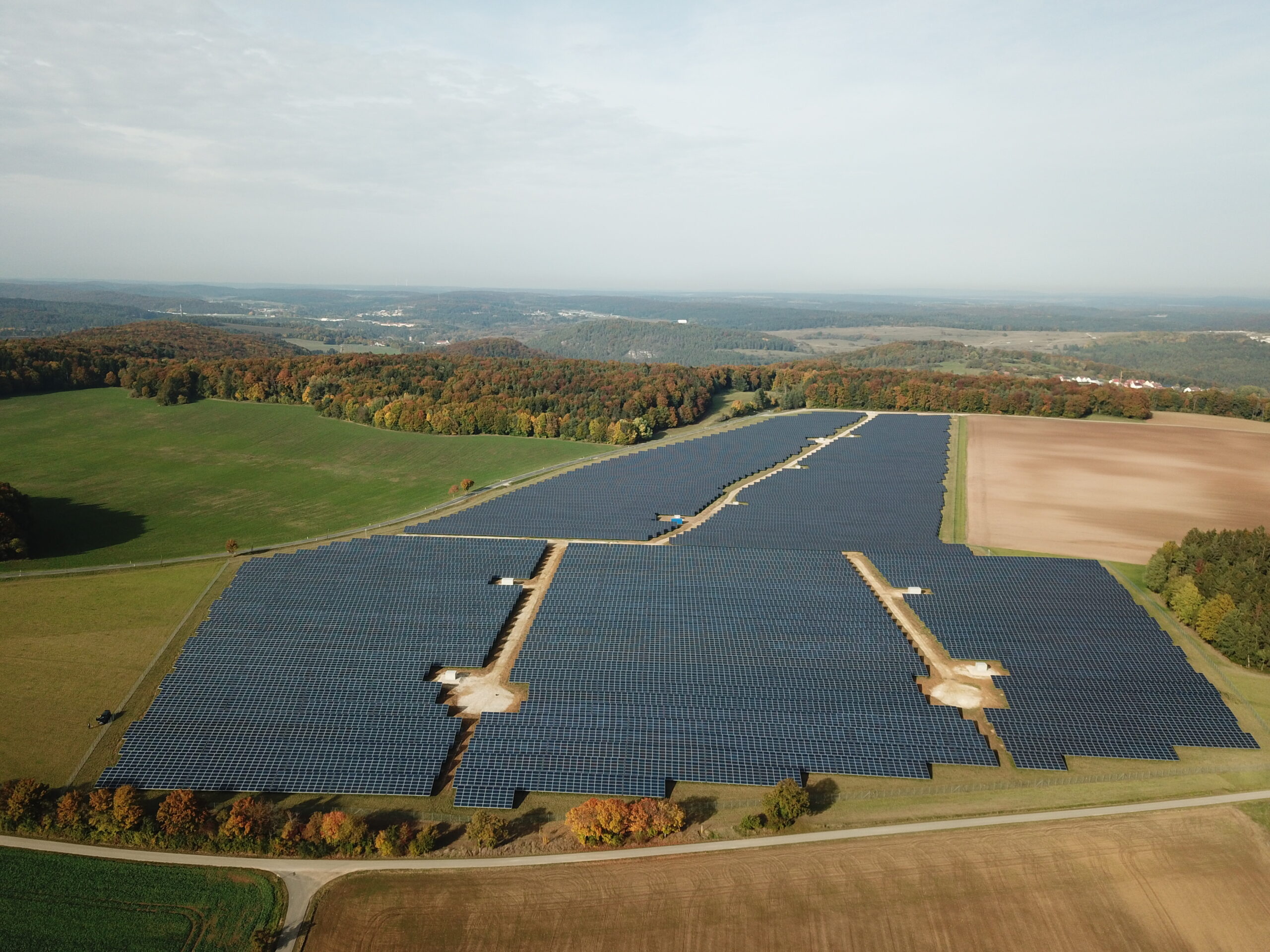
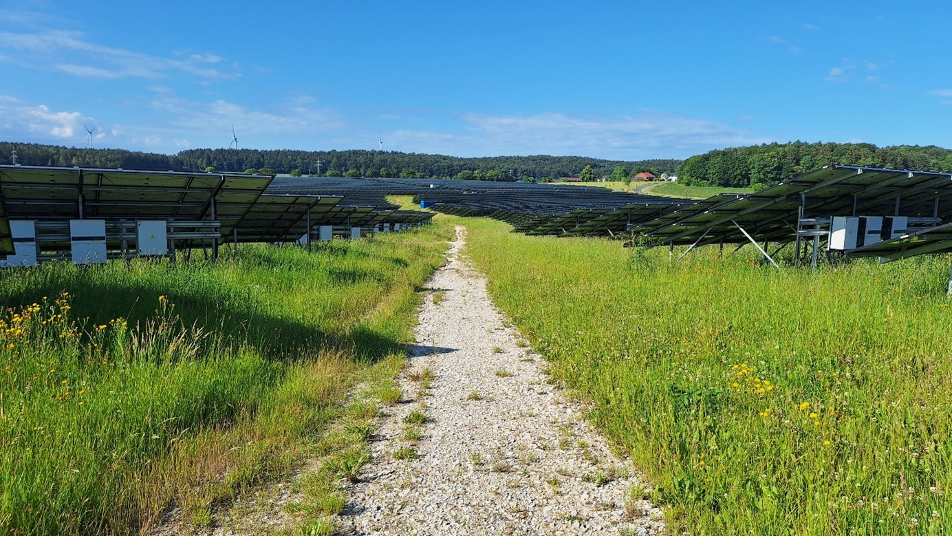
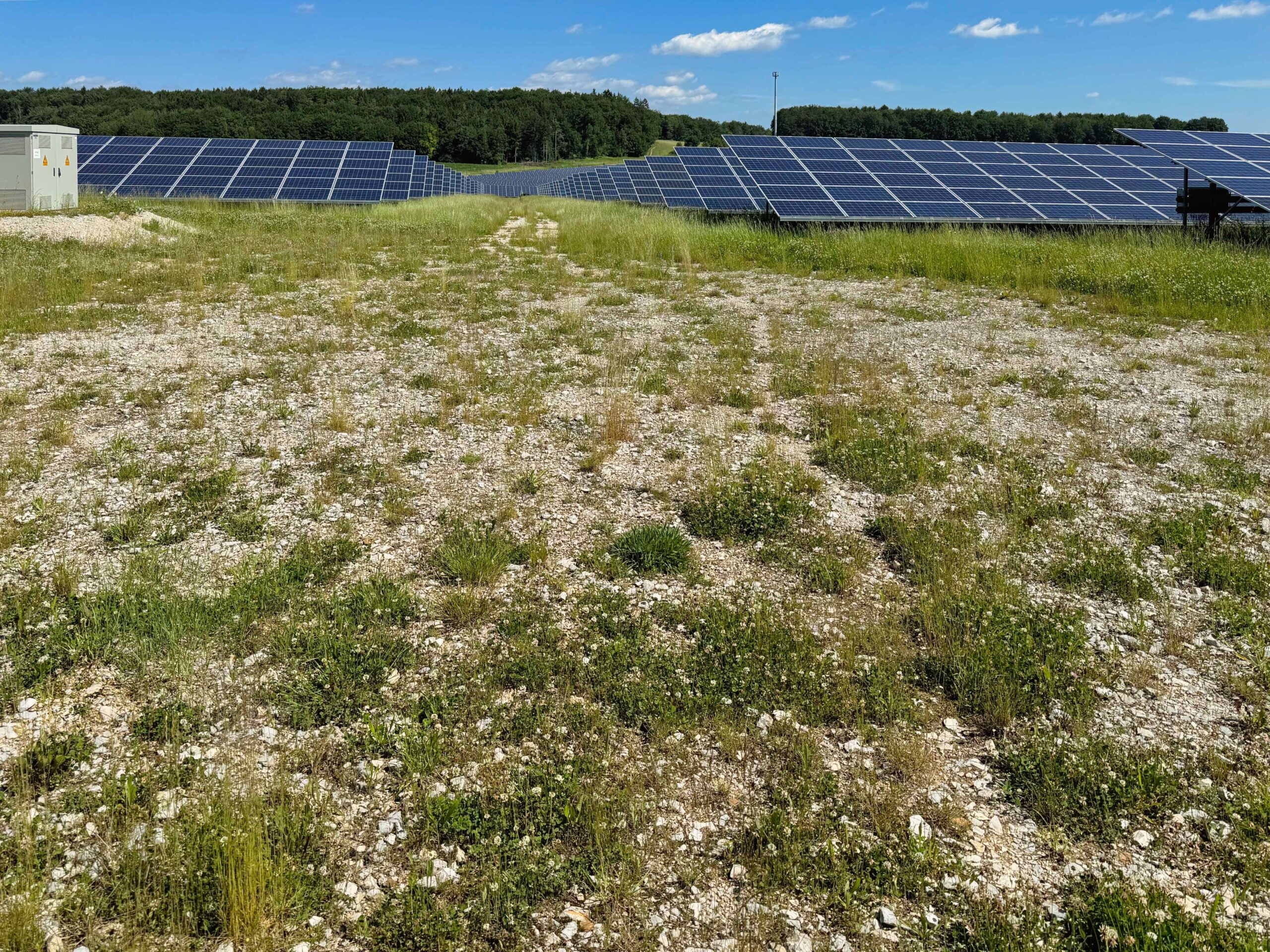
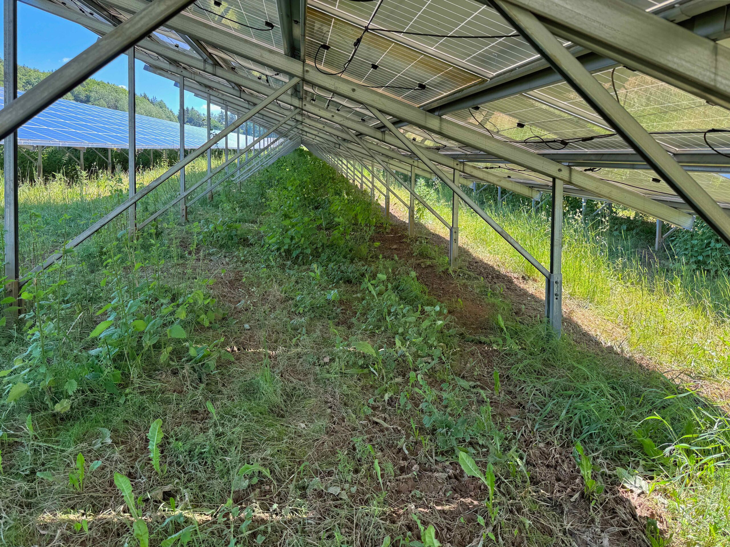
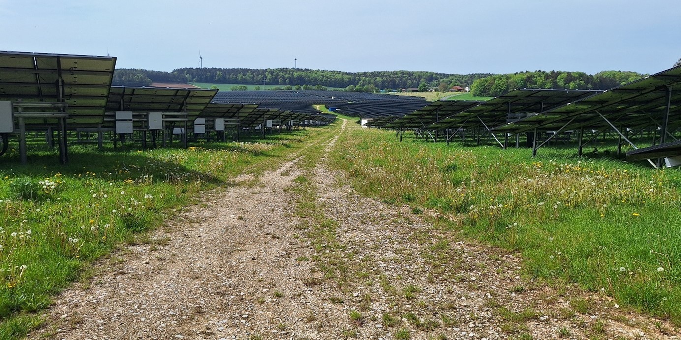
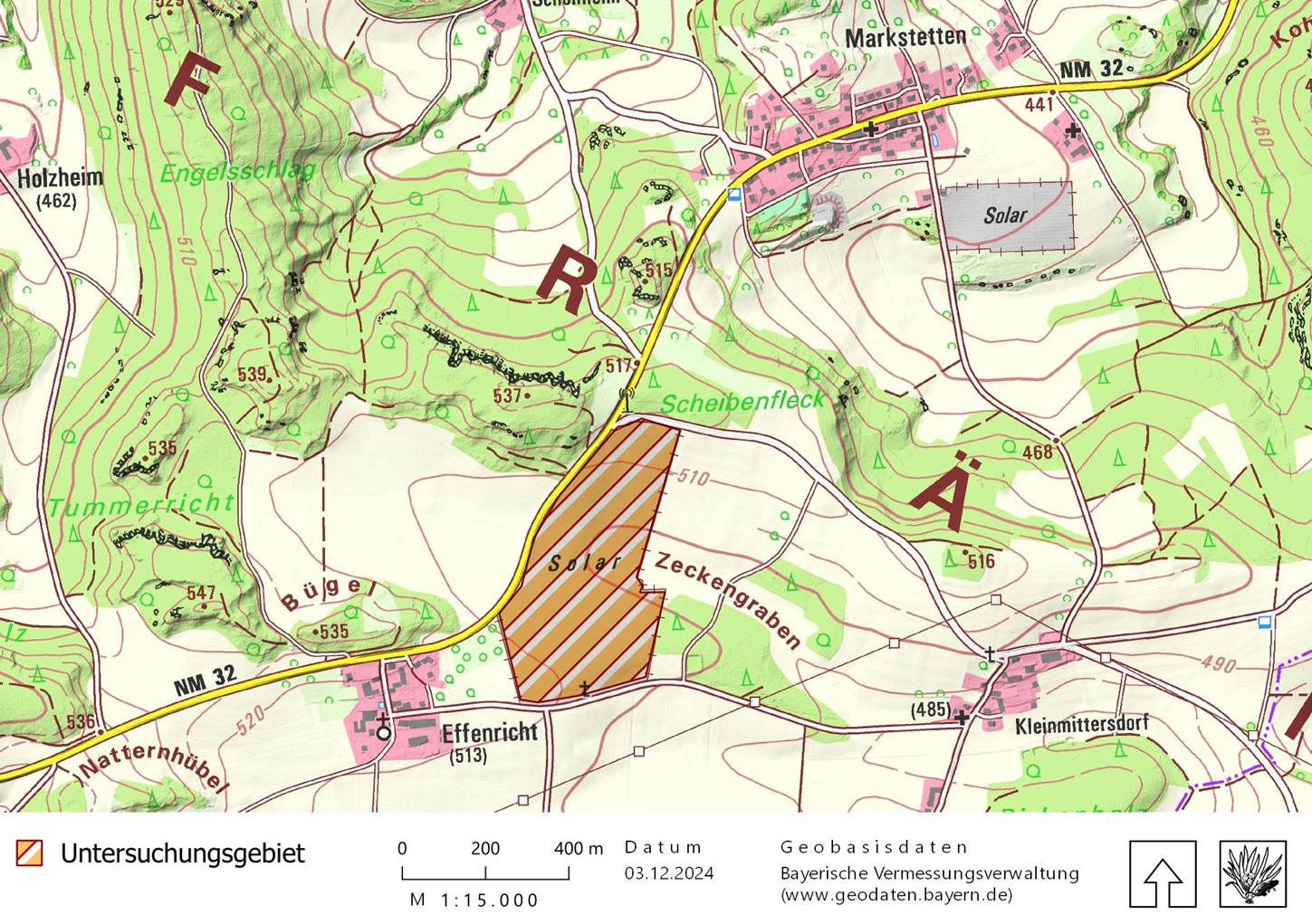
ENERPARC AG's Effenricht solar park is located around 100 metres east of the small Bavarian village of Effenricht. The plant covers an area of 17.46 hectares and was commissioned in December 2018 (first construction phase) and January 2020 (second construction phase). The module tables are set up relatively close together with a row spacing of approx. 2.3 to 2.4 metres. The gravel path, which begins with an access road in the north of the plant and forks into two paths further south, is striking. The nine transformer stations are located along it. There is a depression within the facility, with the lowest point located approximately in the centre.

ENERPARC AG
18.9 MW
17.5 ha
2020
Bavaria
49.1772441811 - 11.8634975458
Arable land
Table of contents
| Species groups | Investigated |
|---|---|
| Plants | ✔ |
| Locusts | ✔✔ |
| Butterfly | ✔ |
| Dragonflies | |
| Reptiles | |
| Amphibians | |
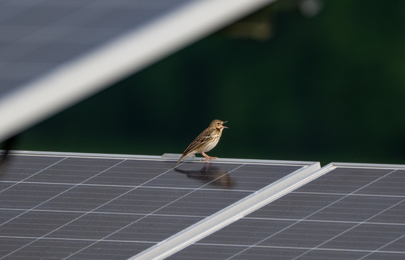
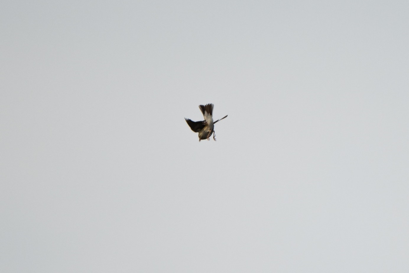
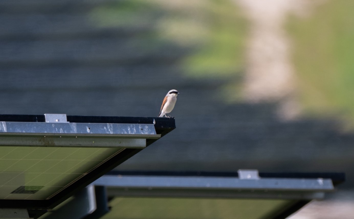
| Birds | ✔ |
| Bats | ✔ |
| Miscellaneous |
✔ = Investigation carried out on behalf of the operators
Natural environment and special features
Jura plateau of the Central Franconian Alb
The Effenricht solar park is located to the east of the NM32 road between Effenricht and Markstetten. The connecting road to Kleinmittersdorf runs to the south of the plant, while to the north a road branches off from the NM32 to the south-east, also in the direction of Kleinmittersdorf. Between the site and Effenricht there is grassland with a young orchard (compensation area), to the east and north there are forests. The remaining neighbouring areas are intensively used arable land. A small pond has been created in the neighbouring forest to the east. The nearest PV plant is located approx. 700 metres away to the north-east behind a wooded area to the south of Markstetten. The area surrounding the solar park is dominated by farmland, with more or less closed forest areas at a maximum distance of 300 metres. Only a few areas, mostly hedges and copses, are mapped as biotopes (as of 2007).
The lowest point in the centre of the study area is around 500 m above sea level ("Zeckengraben"), while the terrain rises to 510 and 515 metres to the south and north respectively.
Continuous arable land without any structure, neighbouring mapped biotope number 6837-0075 to the north
Floor
Rendzina / brown earth rendzina / pararendzina from slope debris over limestone, marl and dolomite rocks alternating with shallow brown earth over terra fusca / terra fusca-parabrown earth from silty-clayey over-deposition products of limestone weathering
Clay slurries
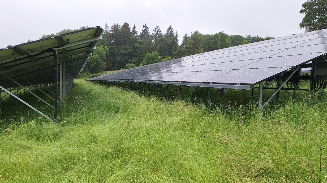
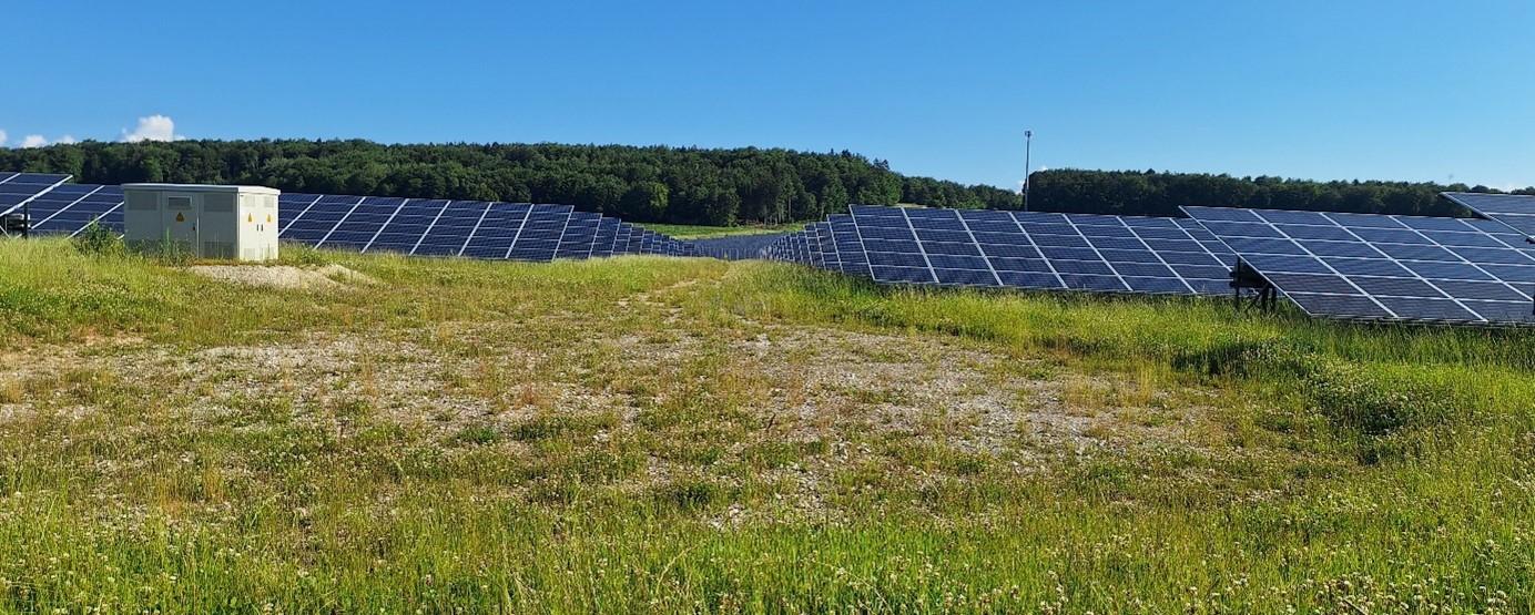
Construction method
0.6
2.3m
1m
18°
6 pieces
The frames are anchored to the ground by pile-driving posts fitted with support struts.
The modules are monofacial.
Gravel paths were laid in the area.
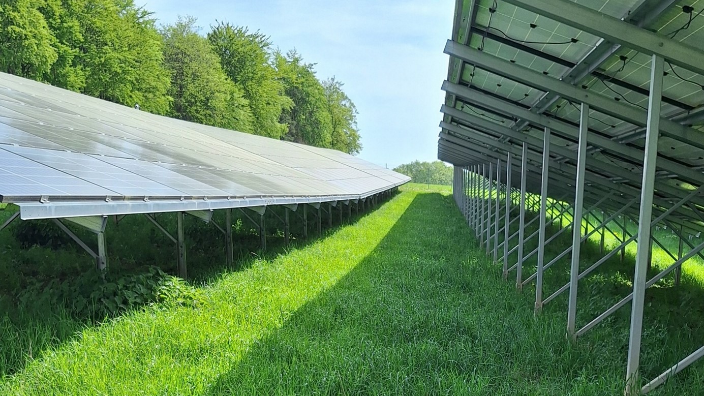
Management
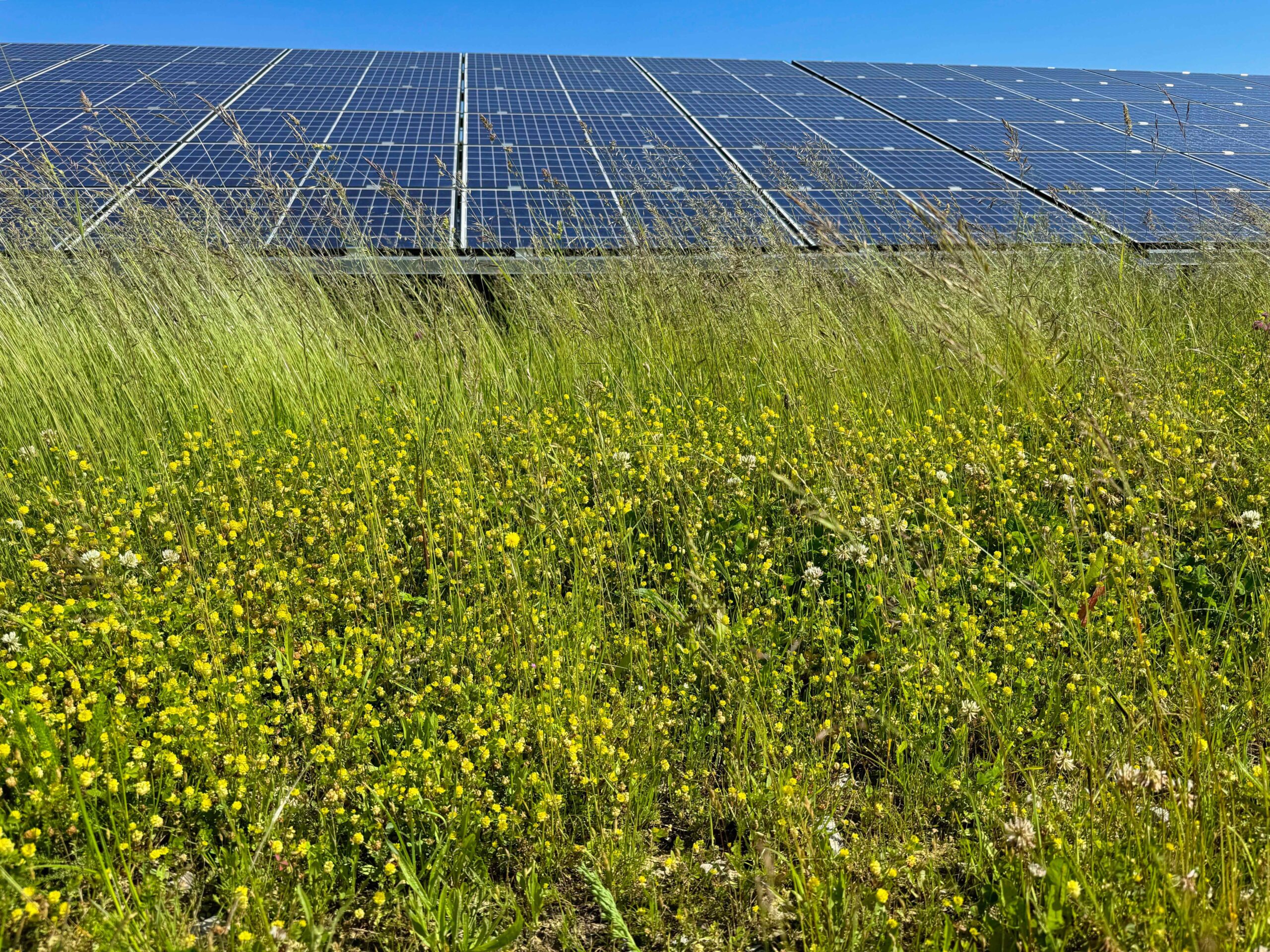
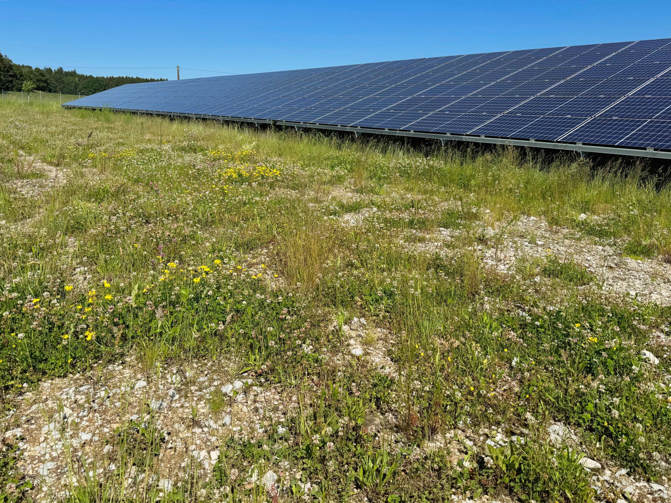
The Effenricht solar park is grazed. The site is divided into sub-areas, each of which is grazed by impact. Planting measures were also carried out and extensive meadows were created.
Equalisation measures
The following compensatory measures were implemented in Effenricht:
- Planting measures
- Extensive grassland development through self-vegetation
- Compensation area of 3.7 hectares
Details of the measures can be found in section 13.3 of the explanatory memorandum to the development plan, including the environmental report.